Driving is the most dangerous thing most of us ever do.
On average, more than 100 people are killed in car crashes every month in Australia.
In NSW, 289 people have lost their lives in a road fatality since March 2022.
There's always a risk when travelling on the road but some areas of the state are much more dangerous than others.
To find out where they are, Finder's insights team and car insurance experts looked at road-related injuries and fatalities in every LGA in NSW over a 5-year period.
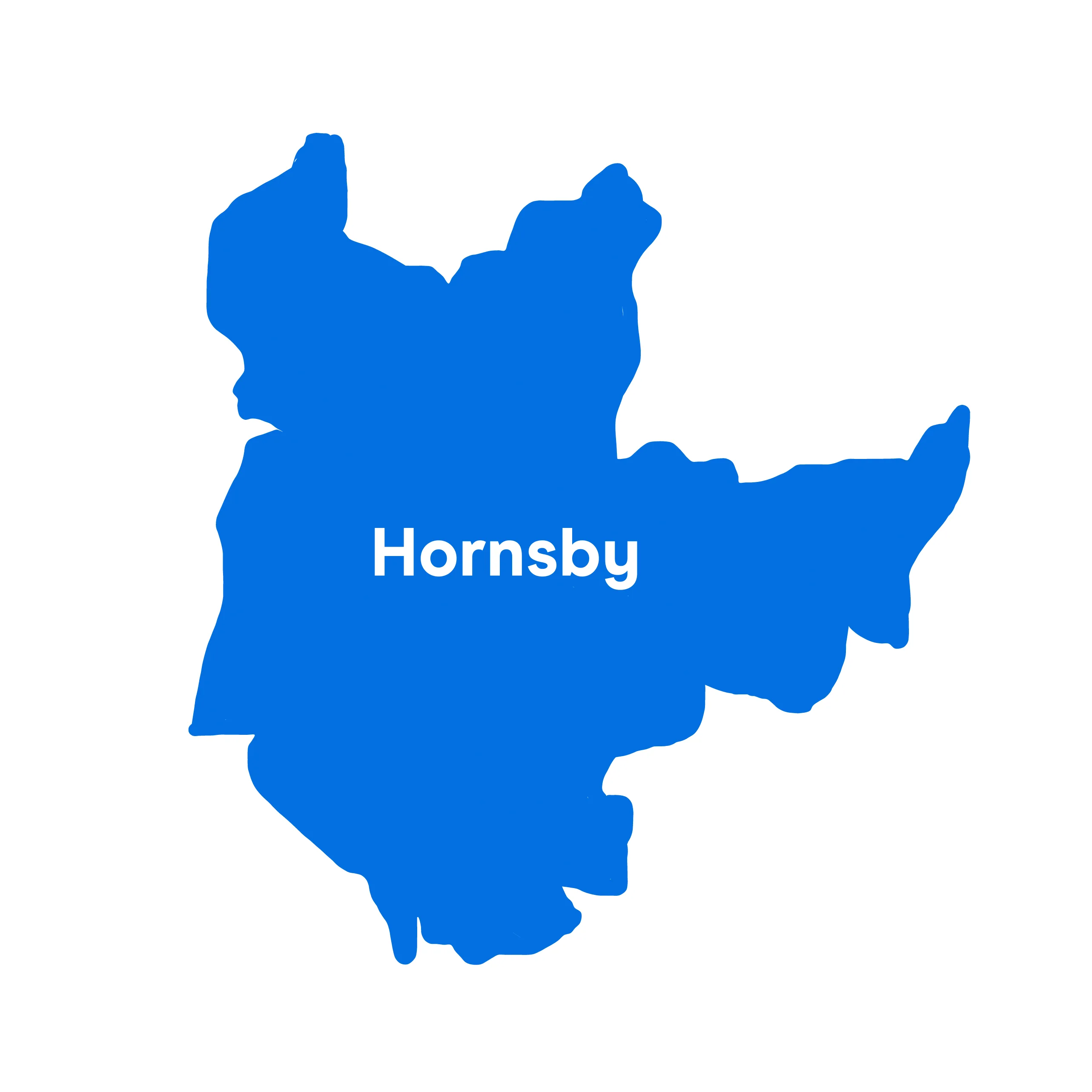
20. Hornsby
Hornsby Shire is the least dangerous of the dangerous LGAs in NSW.
That may not be a fact to be very proud of, but it is the largest government council area in the Greater Sydney region, so it's not that surprising it makes the top 20.
In the past five years of records, 321 people have been seriously injured driving in the Hornsby region.

19. Tweed
Tweed Shire covers the Northern Rivers region of New South Wales and includes the suburbs of Banora Point, Casuarina, Kingscliff and Pottsville.
It's adjacent to the border with Queensland and about 860 kilometres north of the Sydney CBD.
According to census data, it has a population of just under 100,000. 850 people have been injured driving in Tweed, according to the last 5 years of records.

18. Clarence Valley
Located in the Northern Rivers region of New South Wales, Clarence Valley is a 7.5 hour drive north from Sydney that covers over 10,400 square kilometres.
In 2019, 10 people sadly died in driving incidents in the LGA. This is much higher than the state average of 3.
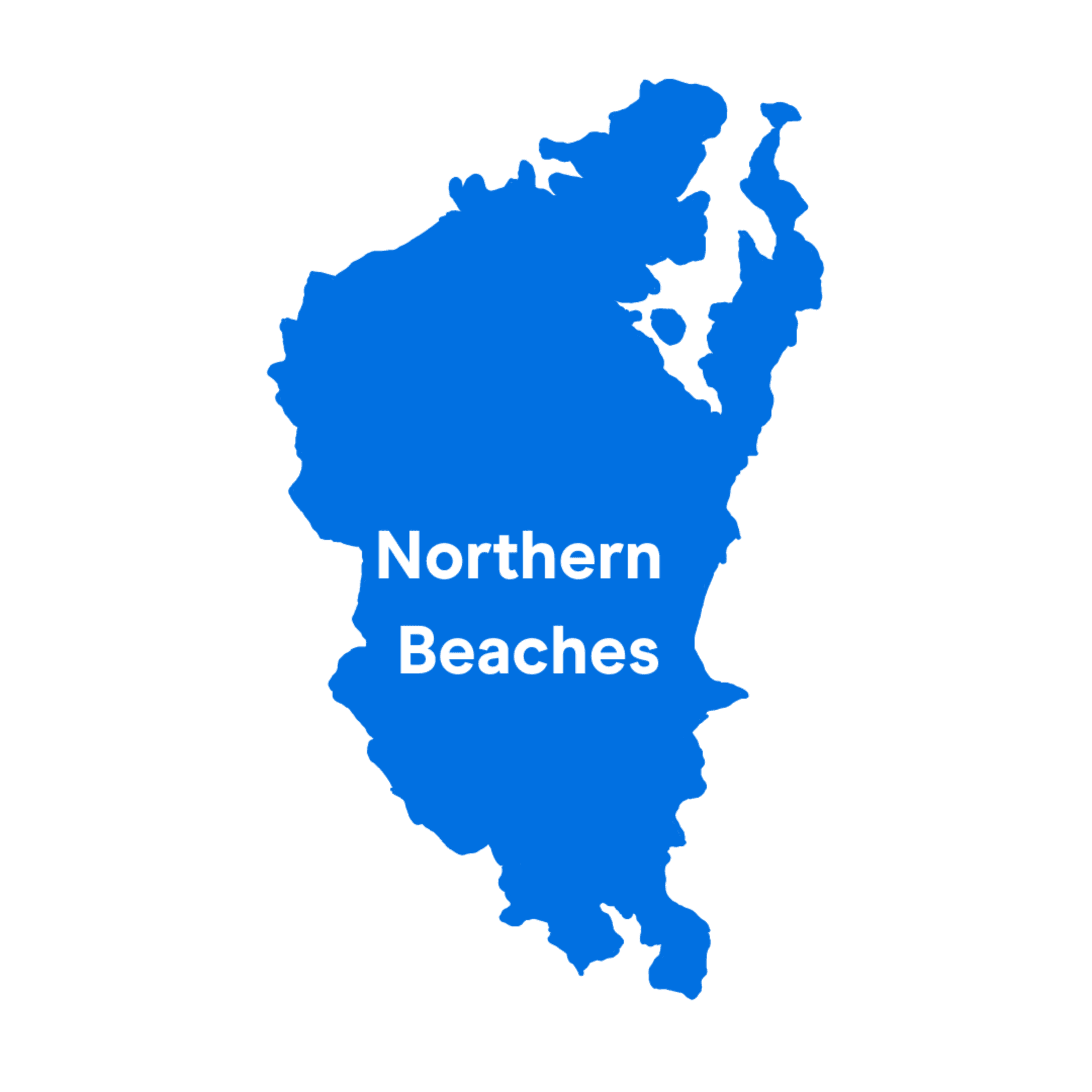
17. Northern Beaches
Probably unsurprising to anyone who has ever driven in the area, the Northern Beaches is another LGA in the North Shore to make the list.
1,528 people have been injured due to driving-related accidents in the Northern Beaches over the last 5-year period and 16 have lost their lives.
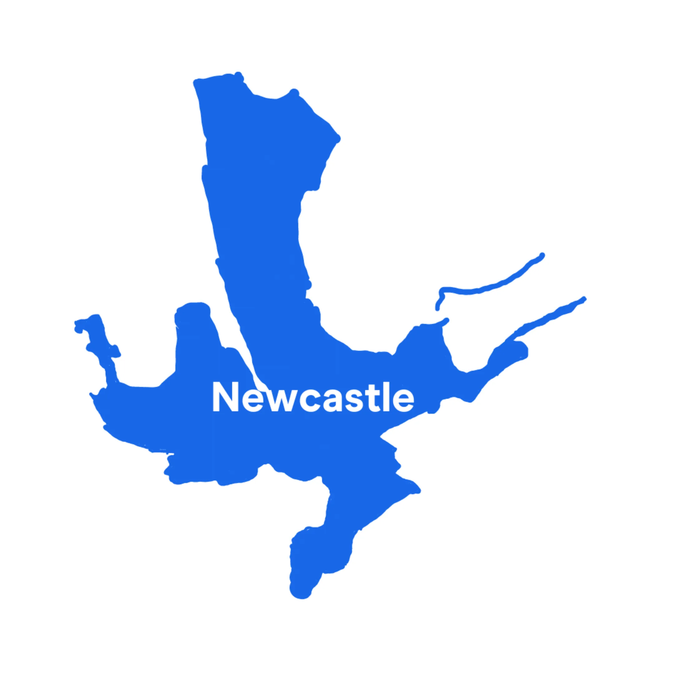
16. Newcastle
Newcastle is part of the Hunter region of New South Wales and incorporates the Newcastle metropolitan area as well suburbs such as Kooragang and Broadmeadow. It has a population of around 169,000.
1,558 people have been injured in the Newcastle LGA during the 5 year period we looked at. This makes it statistically more dangerous than other populous LGAs such as the Northern Beaches which had fewer road-related injuries, despite its larger population.

15. Sutherland Shire
The Sutherland Shire is well known for its beaches and national parks, but it also has some of the most dangerous roads in NSW.
It has a population size of 230,211 according to census data and encompasses popular suburbs including Cronulla, Bundeena and Burraneer.
Sadly, 20 lives have been lost between 2017-21 due to driving-related accidents in the LGA.
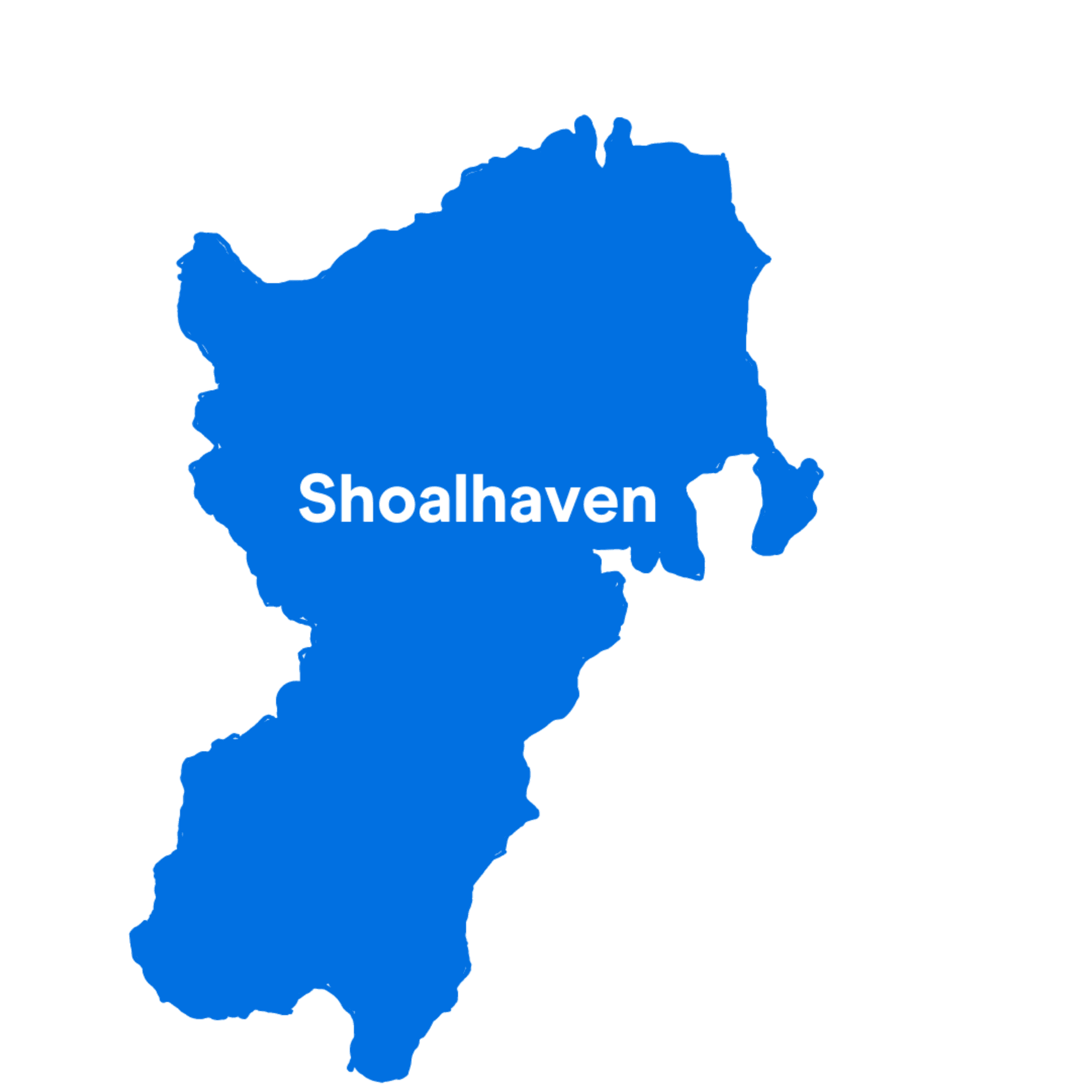
14. Shoalhaven
Shoalhaven is around 200 kilometres south of Sydney. The Princes Highway passes through the LGA, which is one of the reasons it makes the list.
35 people have died in road accidents in Shoalhaven, according to the last 5 years of Transport for NSW records.
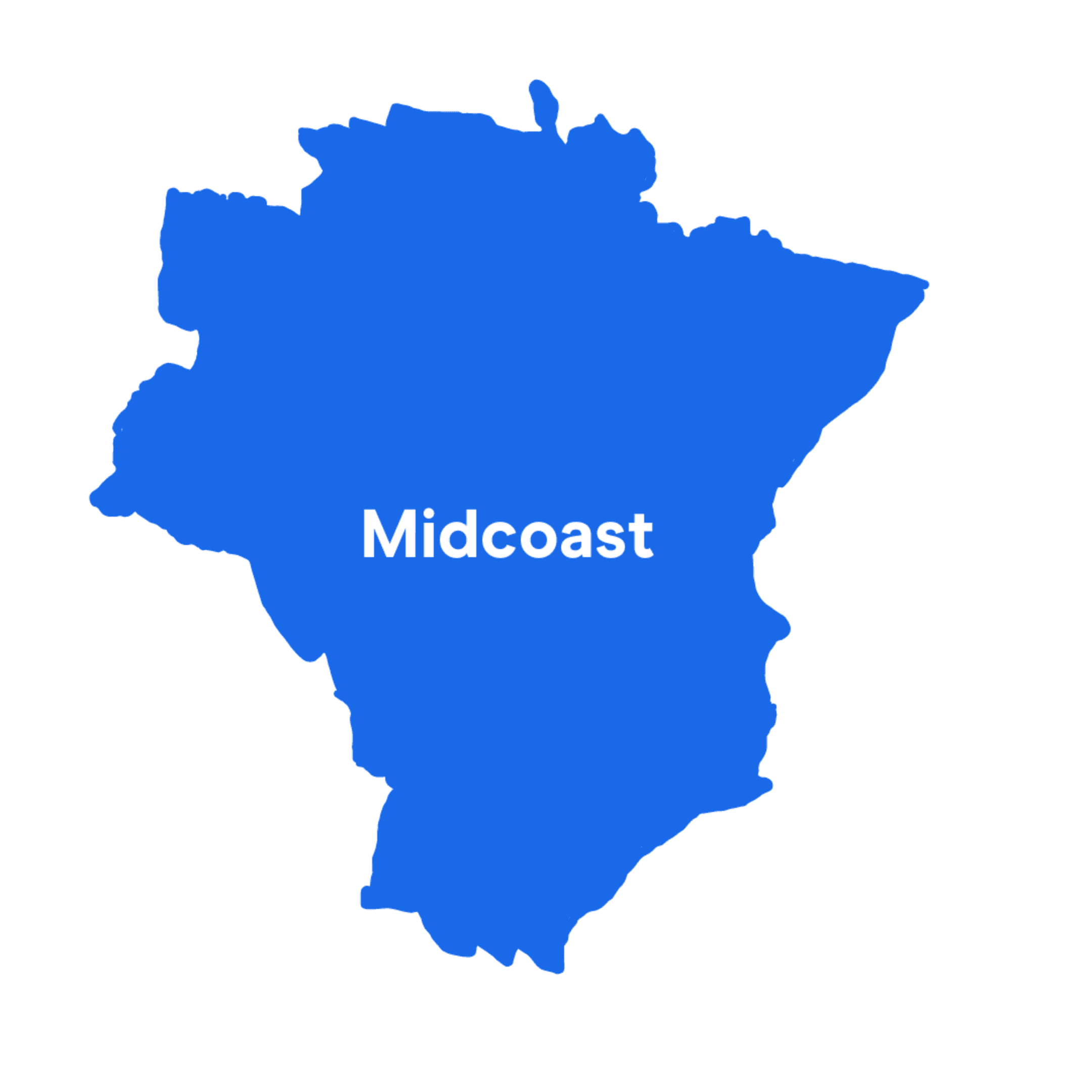
13. Mid-Coast
There has been a very high number of road accidents in the Mid-Coast, despite its relatively small population size of around 96,000.
In 2021, there were 7 fatal road accidents, making it one of the deadliest areas of NSW.
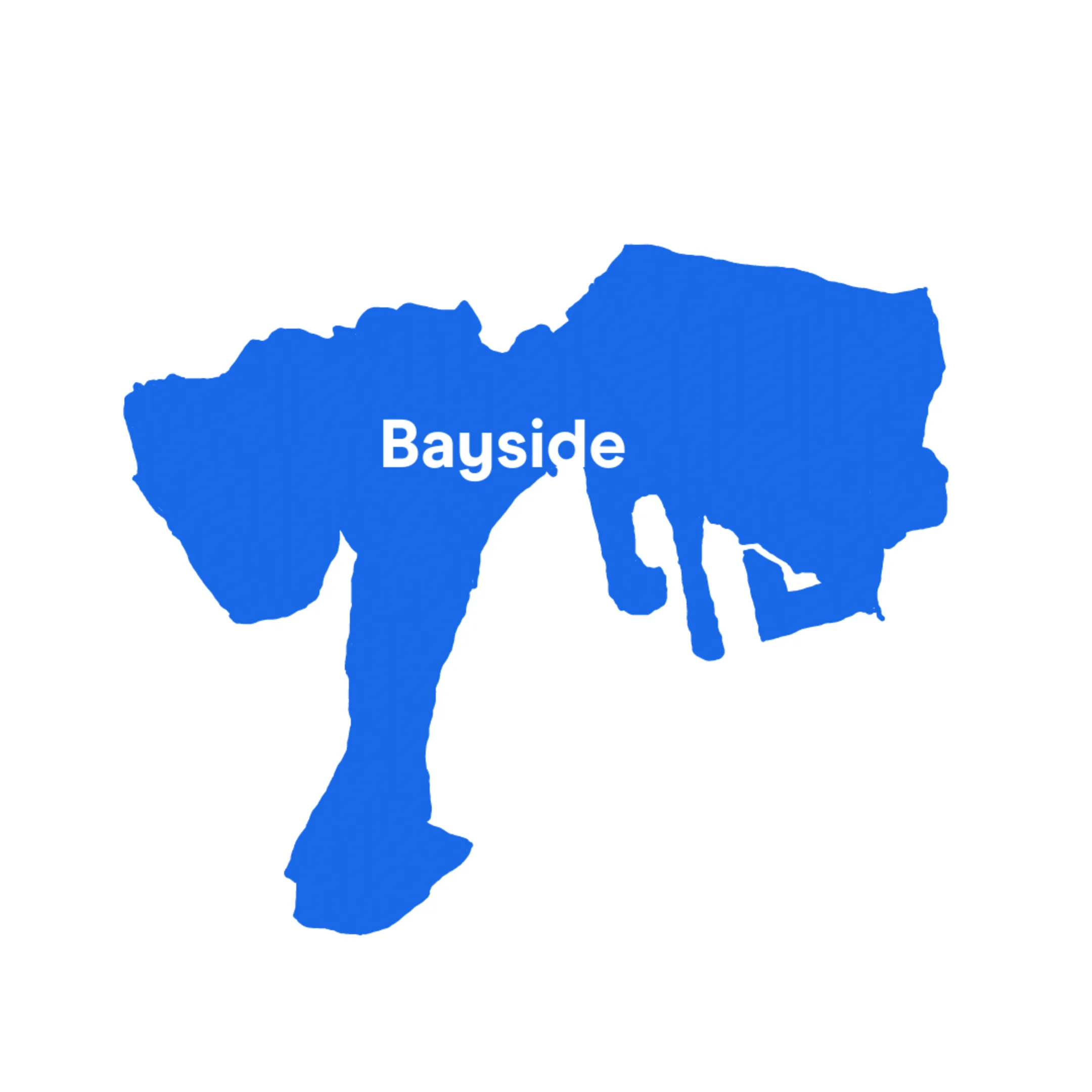
12. Bayside
Bayside Council encompasses some well-known Sydney suburbs including Botany, Rockdale and Wolli Creek.
1,748 people have been injured in a driving-related accident in the Bayside during the last 5 years.

11. Penrith
Penrith is a town and LGA in Western Sydney. It includes suburbs such as Emu Plains, Glenmore Park and Kingswood. In 2021, there were 5 fatal road accidents and 266 injuries in Penrith.
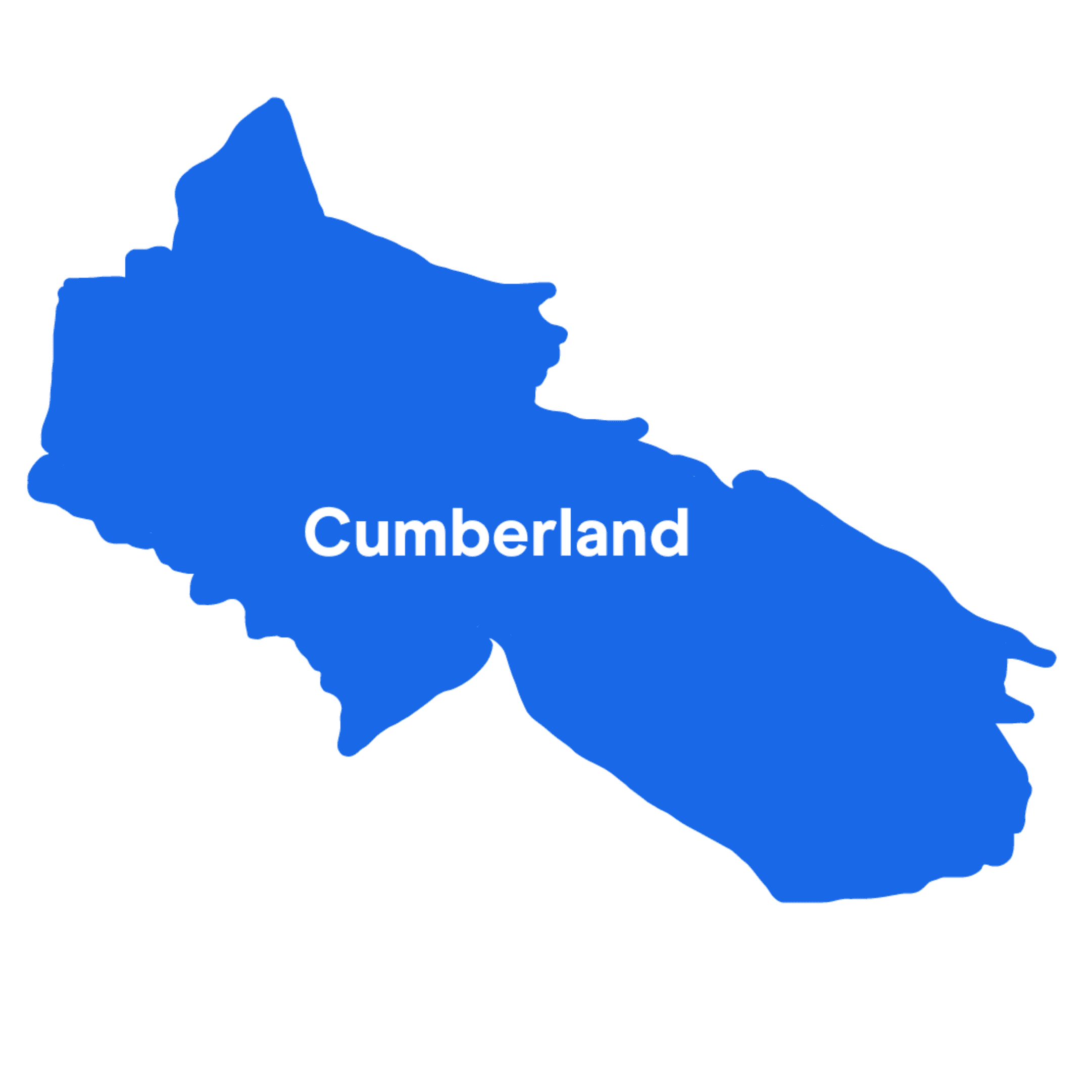
10. Cumberland
Cumberland includes parts of Auburn, Granville, Homebush West, Lidcombe and all of Merrylands.
594 people have been seriously injured on Cumberland's roads, according to the past 5 years of records. Only in Wollongong, Liverpool, Sydney, Blacktown, Central Coast and Canterbury-Bankstown were more people injured in a driving incident.
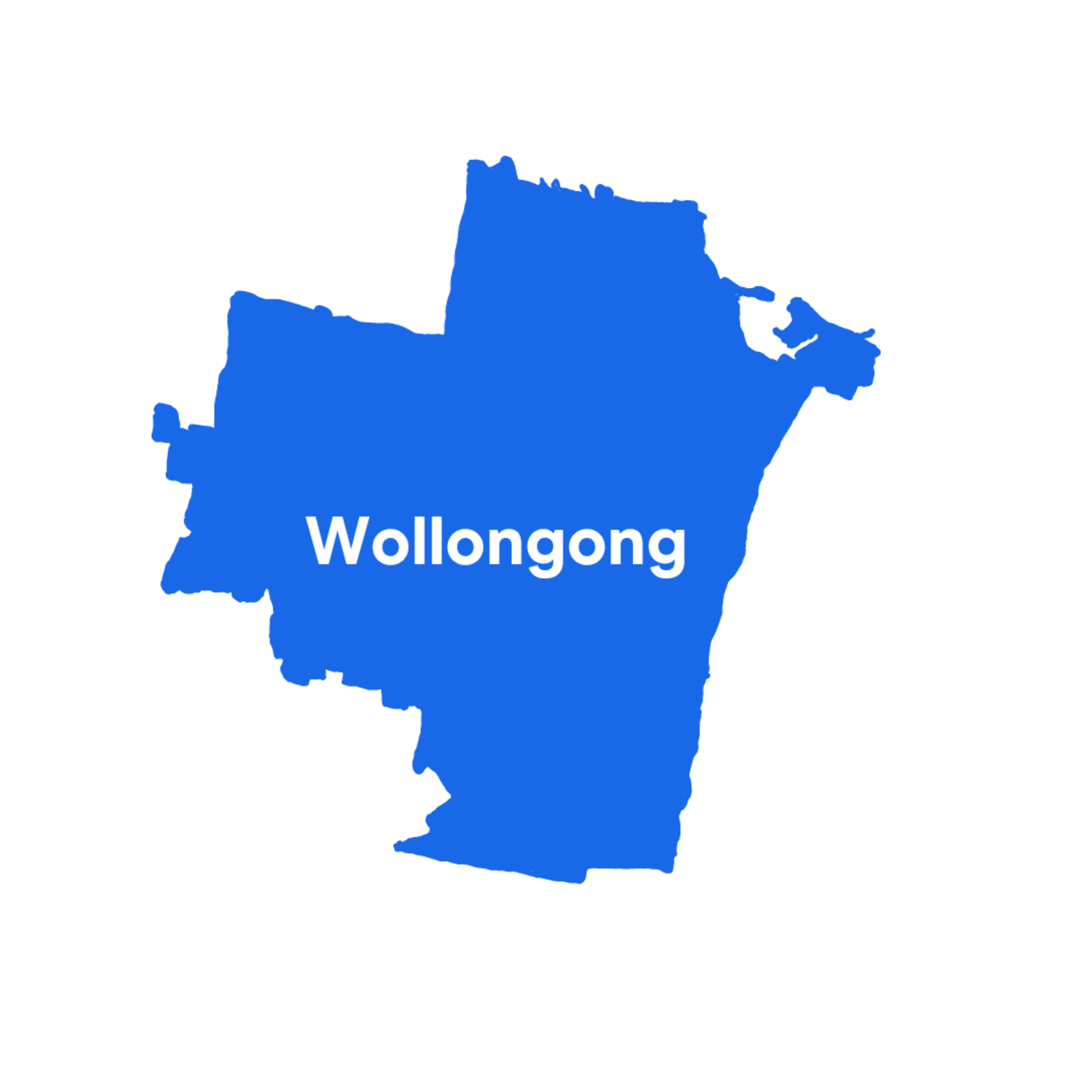
9. Wollongong
The coastal city of Wollongong is around 80 km south of Sydney. The Wollongong LGA also includes suburbs such as Avondale, Helensburgh and Mount Keira.
Fortunately, in 2021 there were less fatalities in Wollongong compared to other LGAs.
However, 1,684 people have been injured in a driving incident in the past 5 years, making it one of the most dangerous places in all of NSW for drivers.
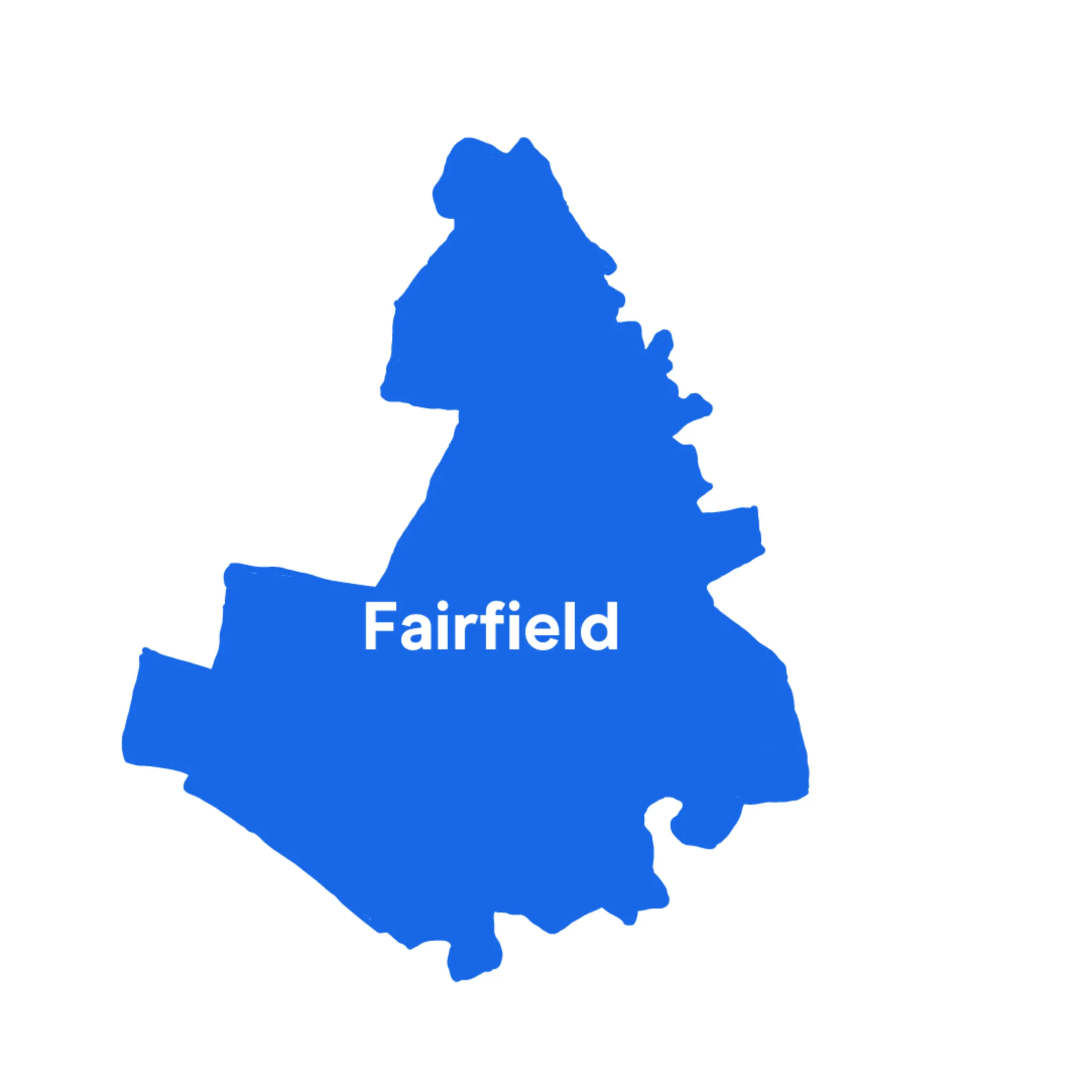
8. Fairfield
Another LGA in Western Sydney to make the top 10, Fairfield has a relatively large population of 200,000+ people and includes suburbs such as Abbotsbury, Cabramatta, Canley Vale and Wetherill Park.
Be careful on any of Fairfield's roads because nearly 2,000 people have been injured or killed on them in the past 5 years.
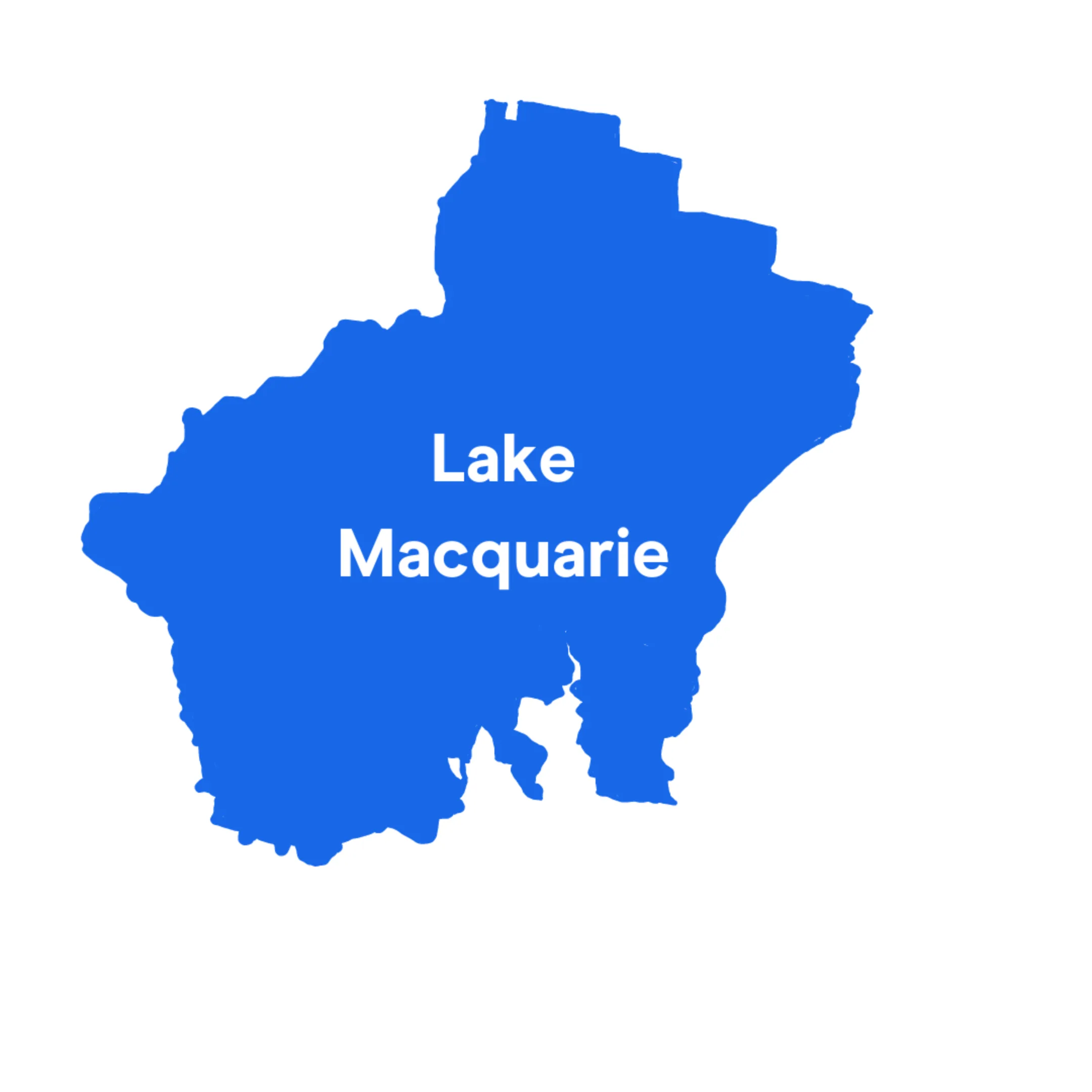
7. Lake Macquarie
The LGA of Greater Newcastle is high on the list largely because 39 people have lost their lives on its roads in the past 5 years.
It also had one of the highest numbers of serious injuries (95) due to car accidents. Only the Central Coast, Canterbury-Bankstown and Blacktown were worse.
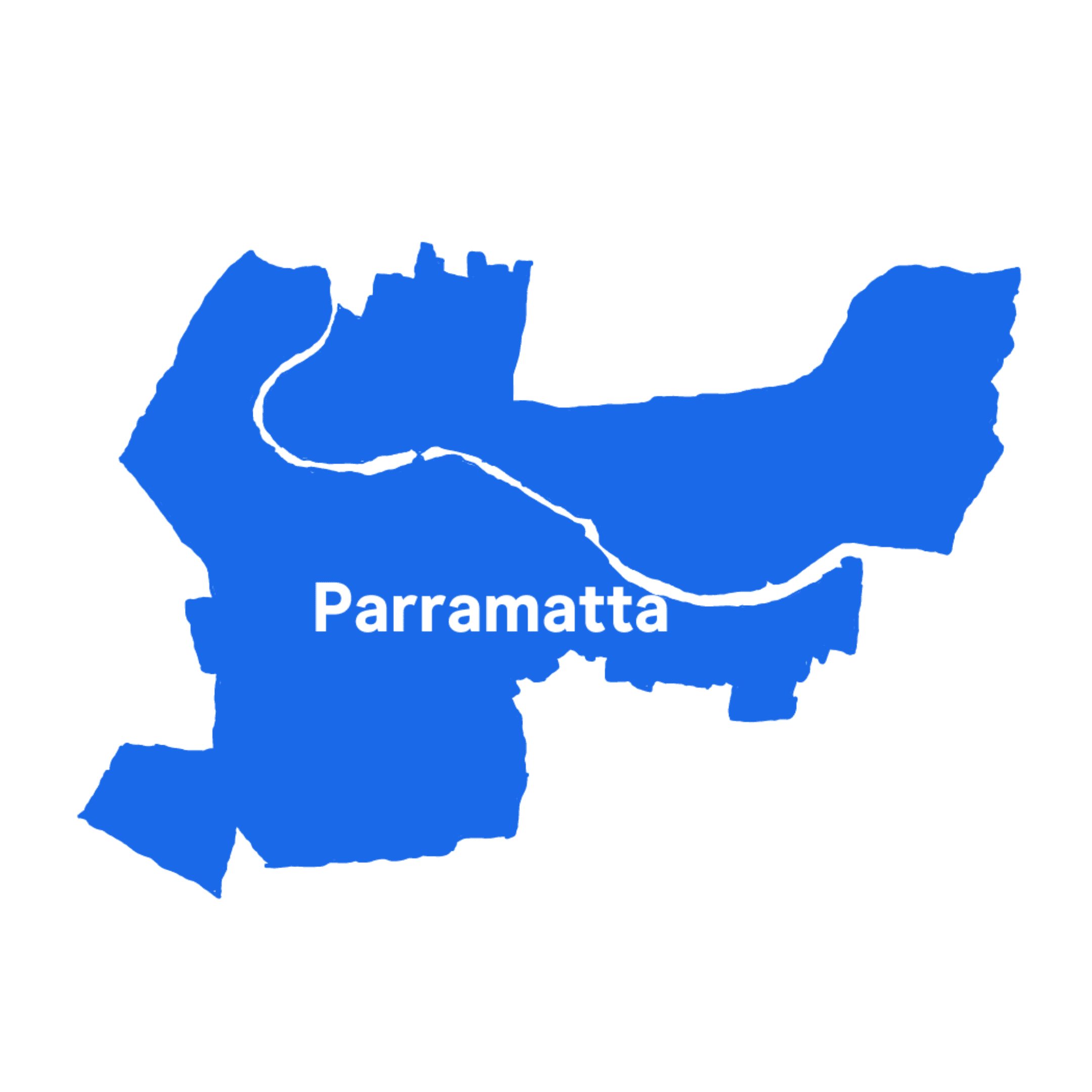
6. Parramatta
Parramatta's roads are among the deadliest in all of NSW. 2,319 people have been injured or killed on them since 2017.
For its population size, it has one of the highest percentages of injuries of anywhere in NSW. Only in the Sydney LGA, Cumberland and Canterbury-Bankstown are you more likely to be injured in a car accident.
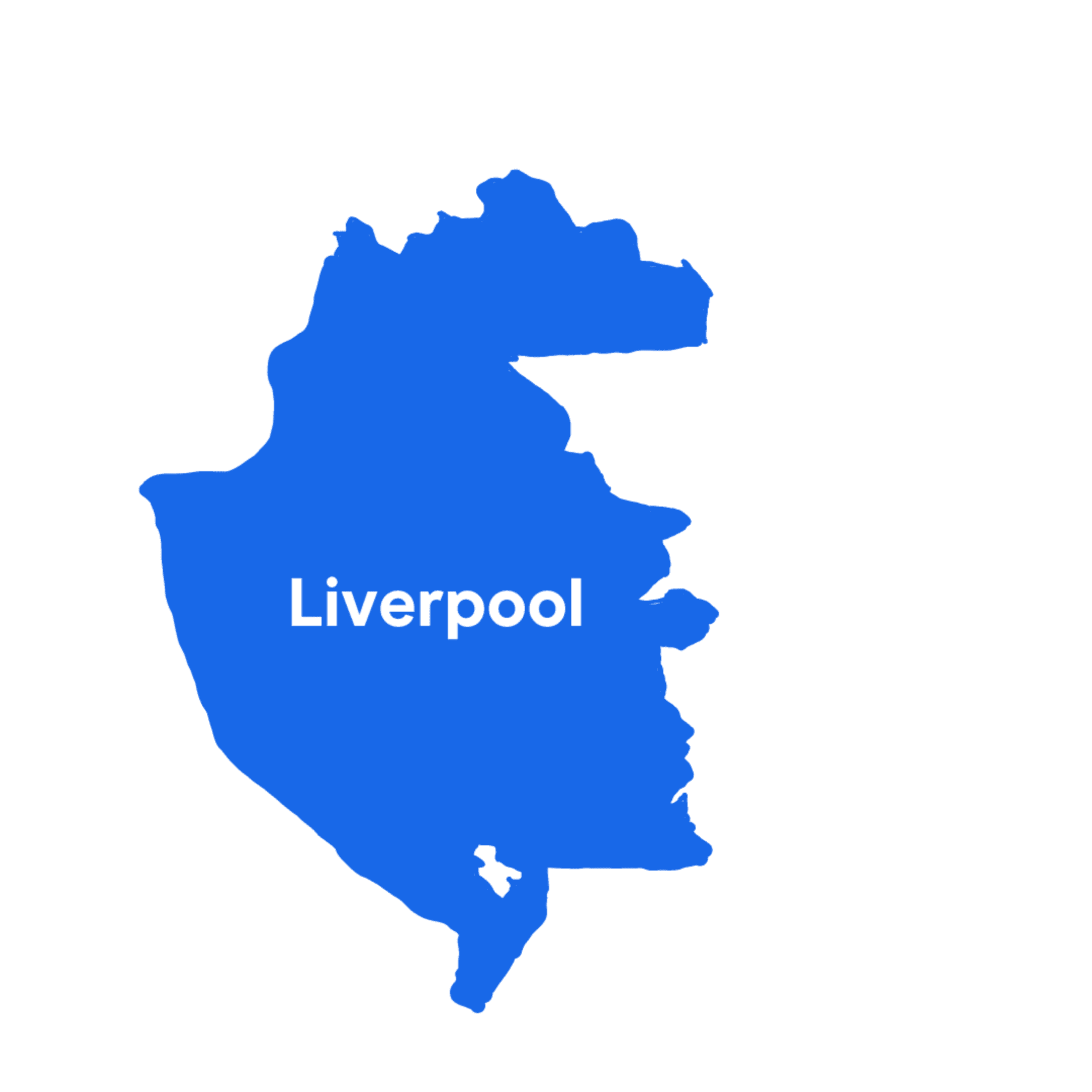
5. Liverpool
Liverpool has the seventh largest population in NSW, so the fact it comes in fifth place means it's a more dangerous area to drive in than other populous LGAs.
The Liverpool LGA covers 42 suburbs from Greendale in the west to Hammondville in the east. 2,278 people have been injured or killed on the road in the region since 2017.

4. Sydney
Unsurprisingly, the busiest LGA on the list is also one of the most dangerous. The Sydney LGA covers the CBD, Barangaroo, Glebe, Haymarket, Surry Hills and more.
2,683 people have been injured in a driving incident in Sydney since 2017. In the past 5 years, serious injuries have more than halved though, from 185 to 76.
Despite this, the busy and often very congested LGA still makes the top 5 largely because there are many more car accidents here than in any other part of NSW.
3. Blacktown
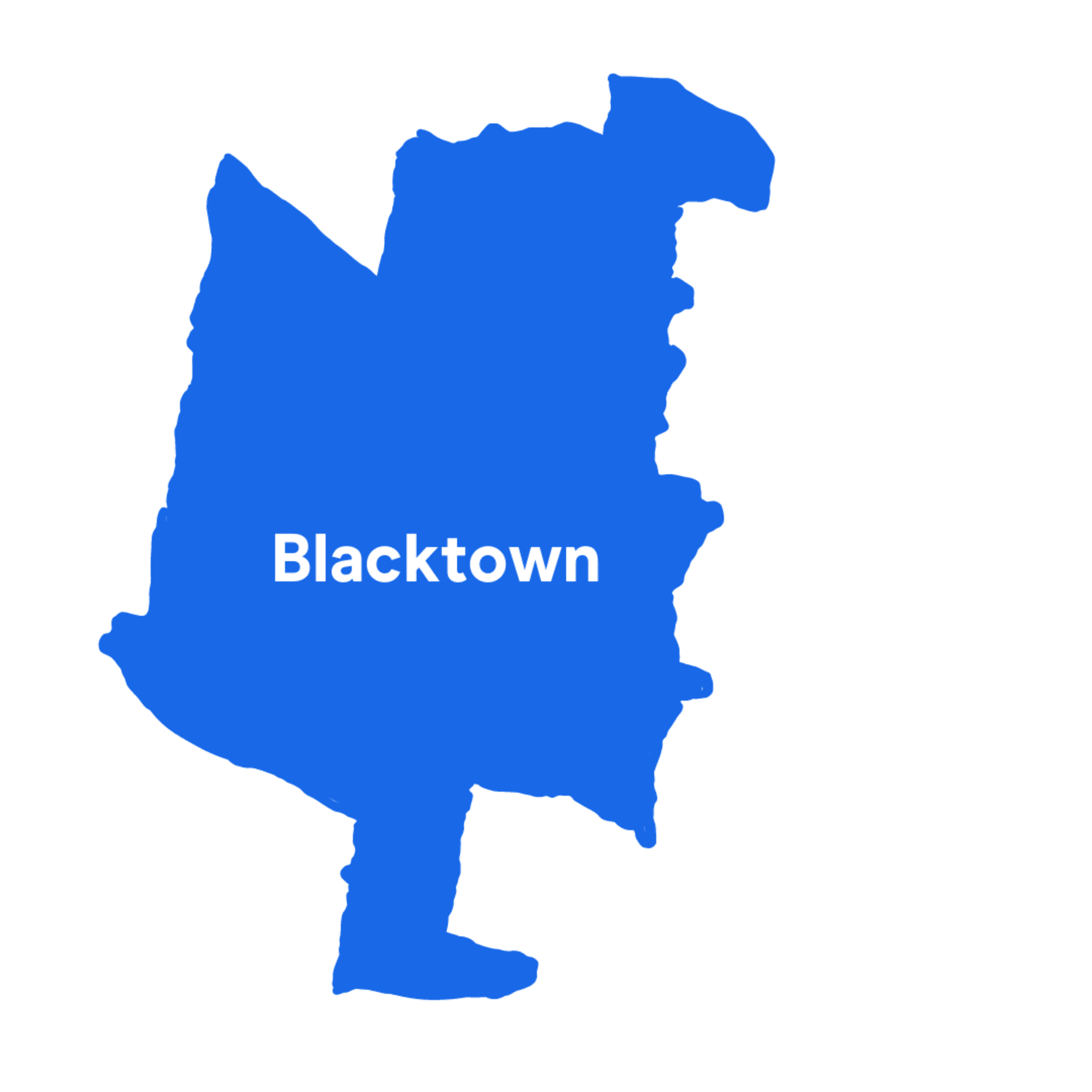
With a population of 396,776, Blacktown is the largest LGA in NSW but it's not the most dangerous.
Around 1 in 68 Australians reside in Blacktown City. It includes several of the Hills suburbs such as Rouse Hill, Seven Hills and Quakers Hills as well as Schofields and parts of Toongabbie.
At least 2,723 people have been injured or killed by cars in the area since 2017.
2. Canterbury-Bankstown
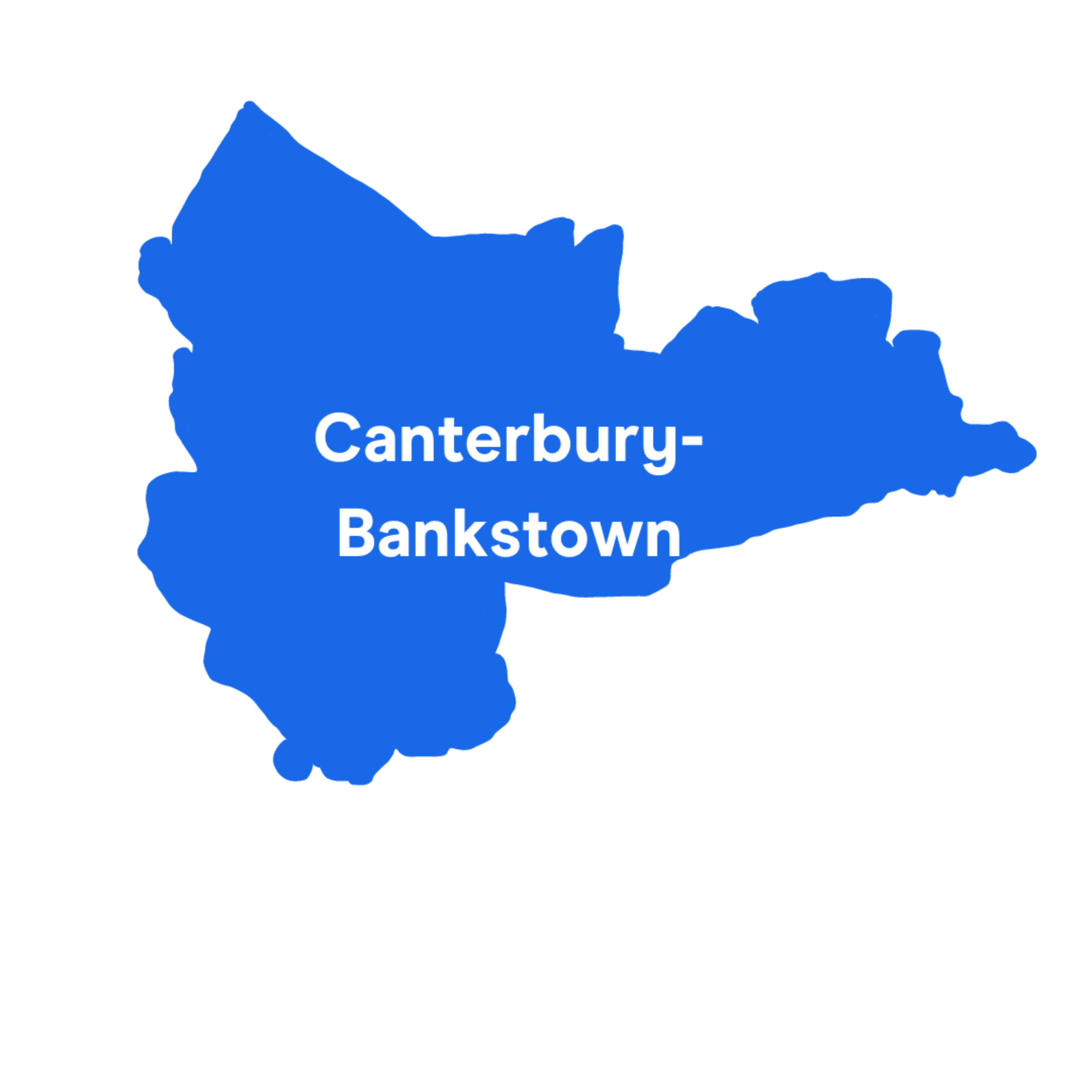
Canterbury-Bankstown has the highest percentage of minor, moderate and serious vehicle injuries in all of NSW. 3,783 Australians have been injured on its roads in the past 5 years.
At 371,000, it is the second most populous LGA on the list. Statistically speaking, you are more likely to be involved in a serious car accident in Canterbury-Bankstown than in any other LGA in NSW.
1. Central Coast
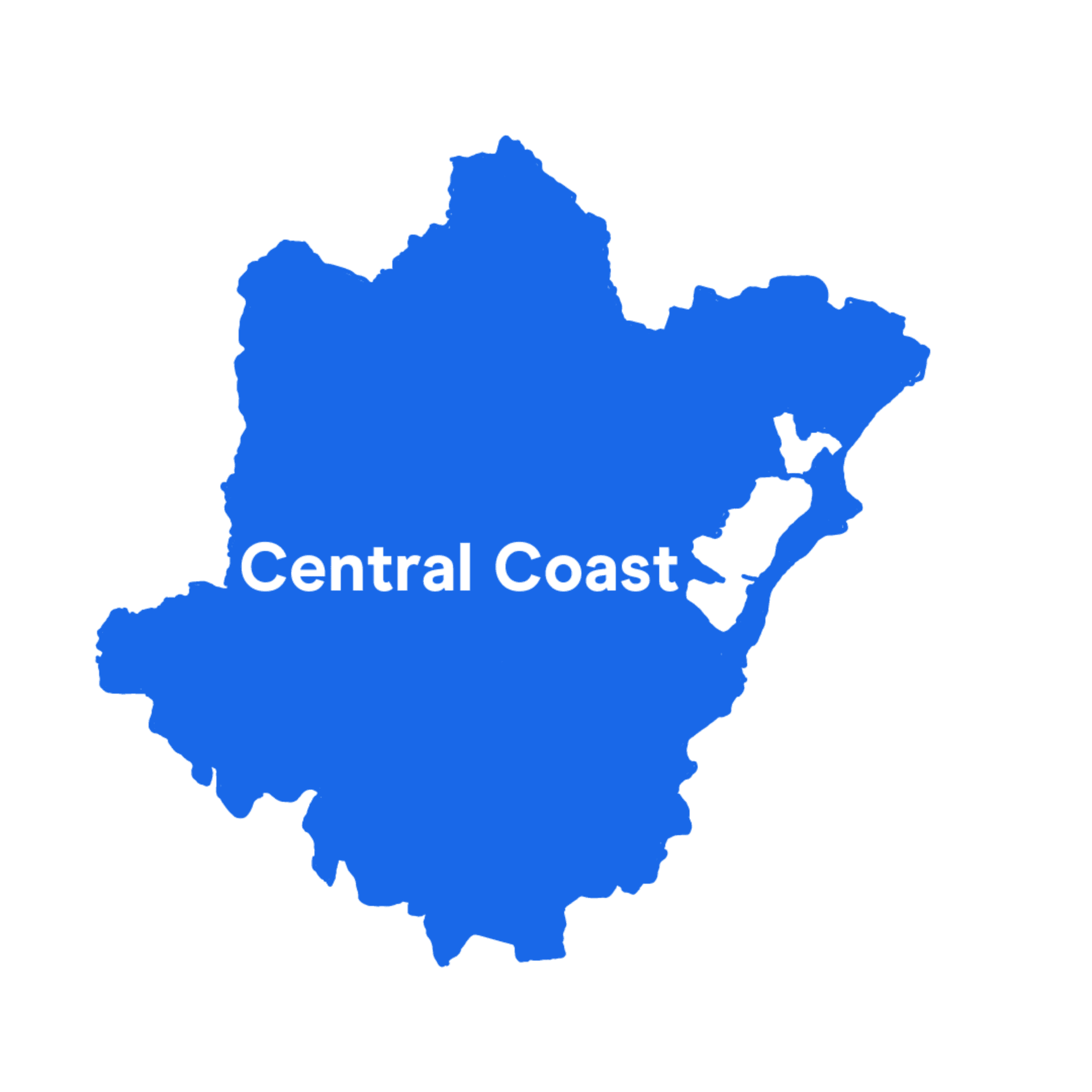
The Central Coast is the most dangerous LGA in NSW for driving, according to the latest statistics by Transport for NSW.
You are slightly less likely to be involved in a serious car accident on the Central Coast than in Canterbury-Bankstown.
However, the Central Coast is more dangerous overall because it had a higher percentage of road-related fatalities in the past 5 years. Sadly, at least 57 lives have been lost since 2017 due to vehicle incidents.

